
Montriond Lake route


1 / 5
Description
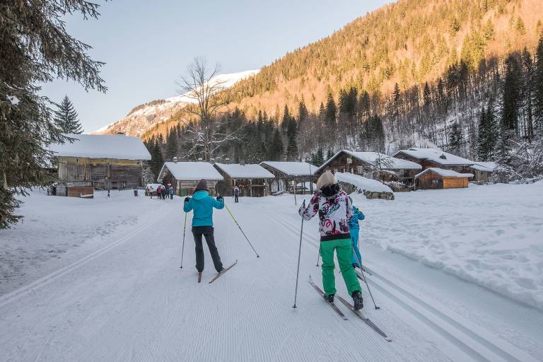
A site deep in a valley where there’s an imposing cliff-face and fir trees all around.In winter, the lake is frozen, in places a metre thick.The magnificent Nordic area is perfect for cross-country skiing.
An exceptional setting and a relaxing spot for those who enjoy strolling in a mountain atmosphere. Also worth seeing: the village of Les Albertans and its old, traditional alpine chalets.
Cross-country skiing is free on the premises (groomed and marked trails) in an authentic Far North atmosphere.
3 loops:
• 1 green trail and 1 blue trail starting from Les Albertans (each trail is 1 km long)
• 1 red trail starting from Les Albertans (you can also start from the Bout du Lac parking lot): 1.2 km with 50 meters of elevation gain and loss
The trail around Lake Montriond is reserved exclusively for pedestrians.
Please note: the trail along the lake on the cliff side is closed in the event of an avalanche risk.
Map: IGN TOP 25, 3528 ET, Morzine
Princing
Free of charge.


