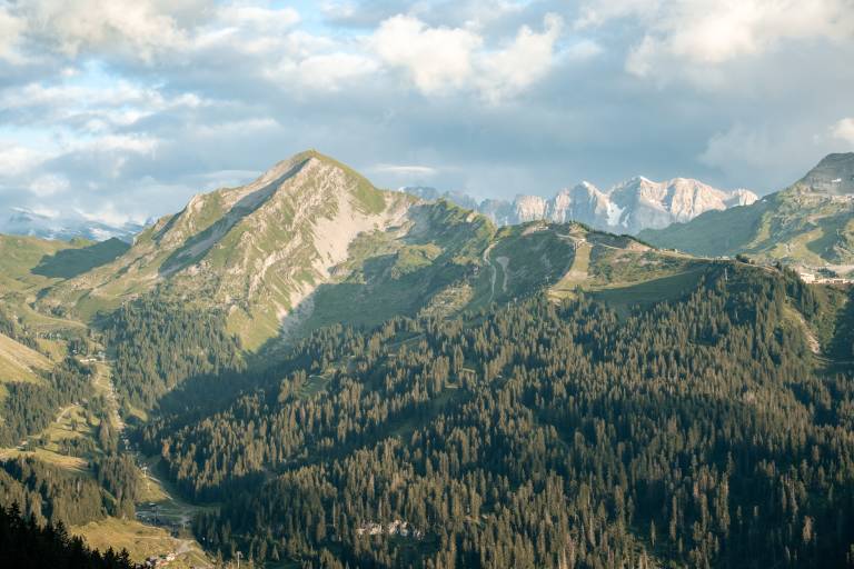
This circular route allows you to explore one of the most beautiful spots in the Chablais at your own pace. You’ll enjoy superb views of the Roc d’Enfer, Lake Montriond and the stunning surrounding mountains!
WARNING: There may be a flock of sheep and guard dogs in the Grolay mountain pasture during the summer season. Remember to follow the correct procedures (slow down, stay calm, give the flock a wide berth if possible, avoid walking through the group of sheep, signal your presence calmly, stop or move forward slowly, avoid sudden movements, do not stare the dog in the eyes, let it observe you or sniff you...).
The route will take you to the summit of a small local mountain, the Tête de Lindaret, before leading you on to the Col de Bassachaux. During this first part of the hike, you’ll enjoy superb panoramic views of the Roc d’Enfer, Lake Montriond and the Abondance Valley. You’ll then continue on your way towards a peaceful mountain pasture at the foot of the Pointe de la Chavache, before making a gentle descent towards Les Lindarets – Village des Chèvres. Here you can stop for a bite to eat and have a stroke of the goats...
Top tip: set off on the hike around 9.30–10.00 am and have lunch at the Village des Chèvres. Don’t forget to book a table in advance!
Start from the Ardent Gondola car park
1/ Take the Ardent Gondola. On arrival at the gondola station, head down towards the Chaux-Fleurie chairlift and take this chairlift.
2/ When you reach the top of the chairlift, head left. At the signpost for ‘Les Rochassons’, continue straight on along the track towards the Tête de Lindaret.
3/ Further on, at the junction between the mountain bike track and the footpath, take the footpath which climbs to the right.
4/ You’ll arrive at Tête de Lindaret. Carry on straight ahead along the path which descends towards Col de Bassachaux. The descent is quite steep in places.
5/ Further on, the mountain bike track crosses your path. Carry on straight ahead along the footpath.
6/ You’ll arrive at Col de Bassachaux. Continue towards Col de l’Aup Couti. To do this, go past the pass car park and take the path on the left. A signpost is there to guide you. The path is flat before it starts to descend. You’ll arrive at a mountain pasture.
From here, you may encounter a flock of sheep and guard dogs.
7/ At Les Roulainnes, head down to the left towards Les Lindarets.
Alternative route: to make the walk longer, continue towards the Col de l’Aup Couti and retrace your steps (this will add about 30 minutes to your walk).
8/ At the Grolays mountain pasture, continue down towards Les Lindarets; the path widens to become a forest track. Along the way, you’ll see signposts for Les Grolay and Les Coutis. Follow the track towards Les Lindarets. Ignore a path that drops steeply down into the forest.
9/ Arrival at Les Lindarets. Walk through the village and continue straight on along the tarmac road which climbs up to the Ardent cable car station.
10/ Take the cable car back to the car park.