Hiking : At the foot of Roc d'Enfer


Description
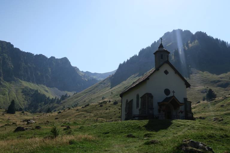
The ‘At the foot of Roc d’Enfer’ walk takes you on a superb circular route beneath the watchful gaze of the ‘King of the Aulps Valley’. Starting from Graydon, you’ll cross hills and mountain pastures in the heart of an unspoilt natural landscape.
WARNING: A flock of sheep and guard dogs are present during the summer season. Remember to follow the correct behaviour guidelines (slow down, stay calm, give the flock a wide berth if possible, avoid walking through the group of sheep, signal your presence calmly, stop or move forward slowly, avoid sudden movements, do not stare the dog in the eyes, let it observe you or sniff you...).
Setting off from the stunning Graydon mountain pasture, you’re in for a challenging climb up to the Col Ratti. From this highest point, enjoy a superb panoramic view of Mont Blanc and the peaks of the Aravis range.
Whilst the climb is tough to begin with, the rest of the hike is pure bliss! Amidst sparse forests, chalets, pastures and mountain pastures, you’ll explore remote and unspoilt corners of our beautiful Haute-Savoie.
Don’t be surprised if you spot a herd of chamois: they’re abundant in this area, which is designated as a Natura 2000 site.